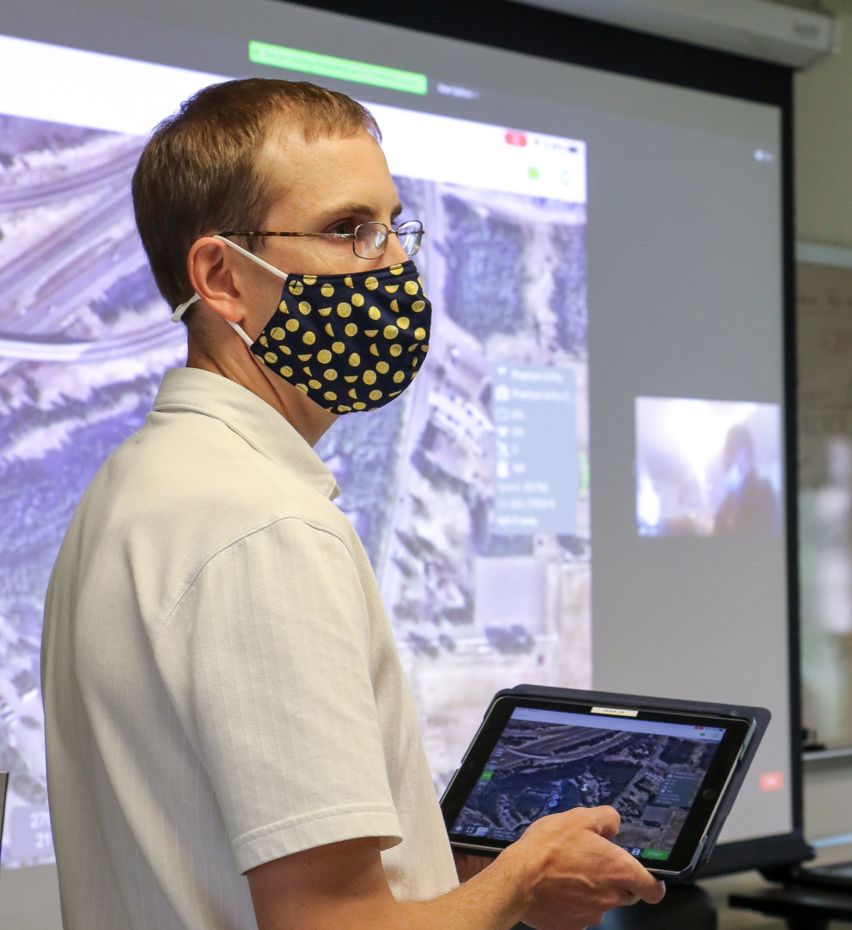
Dr. Carl M. Sack is the Geographic Information Systems Program Coordinator at Fond du Lac Tribal and Community College.
Dr. Sack teaches GIS and Remote Sensing courses and supervises student research internships with NASA and other agencies. His current project work includes semi-automated habitat mapping in the St. Louis River Estuary on Lake Superior and expanding the use of drones in teaching and fieldwork.
